
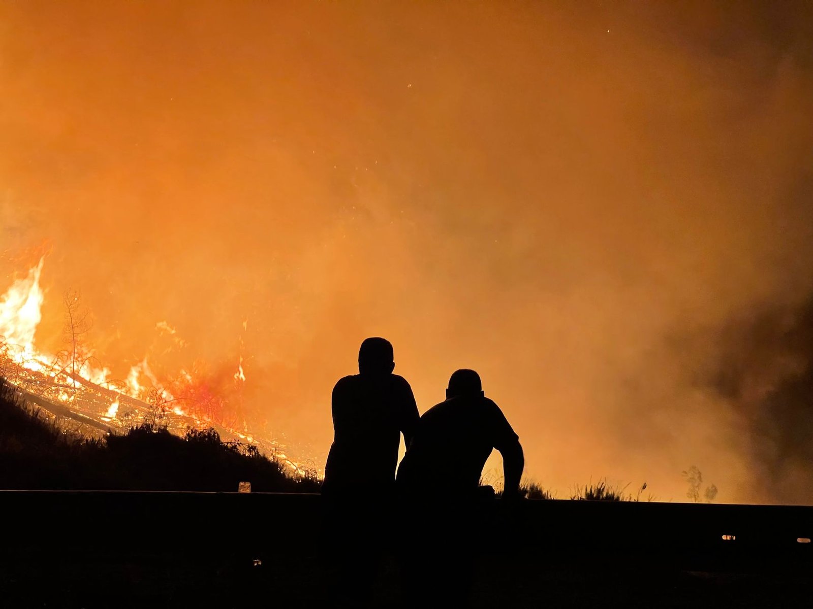
Wildfires burnt through more than 150 million hectares worldwide in 2026. That is a record for the year. Scientists warn that a re-forming El Niño pattern could push the toll higher before the year ends. Africa accounts for the largest share of the world’s burned area in most years. Yet research published this year finds a more complicated trend across the continent. Its dry season, the period when fire risk peaks, is itself getting shorter.
The finding comes from researchers who examined decades of satellite fire data across the continent. It runs counter to the assumption that a warming climate should extend fire seasons everywhere. In parts of Africa, shifting rainfall patterns are compressing the window of dry conditions that allows large fires to spread. Even within that shorter window, individual fires can burn hotter and faster, driven by higher temperatures and drier vegetation. The net effect on total burned area varies by region, the research shows, rather than following a single continent-wide trend.
That regional variability matters for how governments plan fire response. A shrinking dry season in one region might reduce the total area exposed to fire risk across the year. A neighbouring region with different rainfall dynamics could see the opposite effect, with fire behaviour intensifying within a similarly sized or shorter window. Blanket assumptions about fire risk, based on global averages, risk misdirecting resources meant for local fire prevention.

A record year despite the trend
Global wildfire data for 2026 nonetheless points to an unusually severe year. Burned area has exceeded recent-year averages by a wide margin. Scientists tracking the trend link the severity partly to dry, hot conditions that preceded the current re-forming El Niño. They warn that if El Niño strengthens further, as forecasters expect, the rest of the year could bring additional large fires. Those fires are most likely in regions already primed by dry vegetation and low soil moisture.
For food and agricultural systems, wildfire risk intersects directly with the same climate pressures driving food security concerns elsewhere this year (see related story). Fires that reach farmland or grazing land destroy standing crops and forage. Smoke and haze can also disrupt harvesting and transport for weeks after a fire is contained. Communities depend on forest products too, from wild foods to timber and fuelwood. When fire reaches wooded land they rely on for income, they face a further layer of loss. This is particularly true in regions with limited alternative livelihoods.
The findings underline a broader point in climate science this year. Global averages, whether for temperature, rainfall or fire risk, can conceal significant regional variation. Policy responses calibrated to the global picture alone risk missing what is happening on the ground in any particular place. As El Niño conditions develop further through the rest of 2026, monitoring how individual regions respond will matter increasingly for fire preparedness. Relying on continental or global totals alone will not be enough.

Sharper satellite data
Satellite monitoring made this year’s regional-scale findings possible. Its precision has grown over the past decade, so researchers can now distinguish between short, intense burns and longer, slower-moving fires across large areas. Earlier fire-tracking methods could not make that distinction. This improved resolution is part of why scientists can identify a shrinking dry season in Africa even as global burned area climbs. Five years ago, coarser satellite data would have made that distinction far harder to draw.
For national fire agencies working with constrained budgets, the practical challenge is different. They must translate finer-grained science into resource allocation that keeps pace with it. Fire services in much of the continent remain underfunded relative to the areas they monitor. The shift towards regionally specific risk assessment is scientifically sound, but it still depends on agencies having enough staff to act on localised warnings. Otherwise they will keep falling back on broader seasonal assumptions that the new research suggests are increasingly unreliable.