
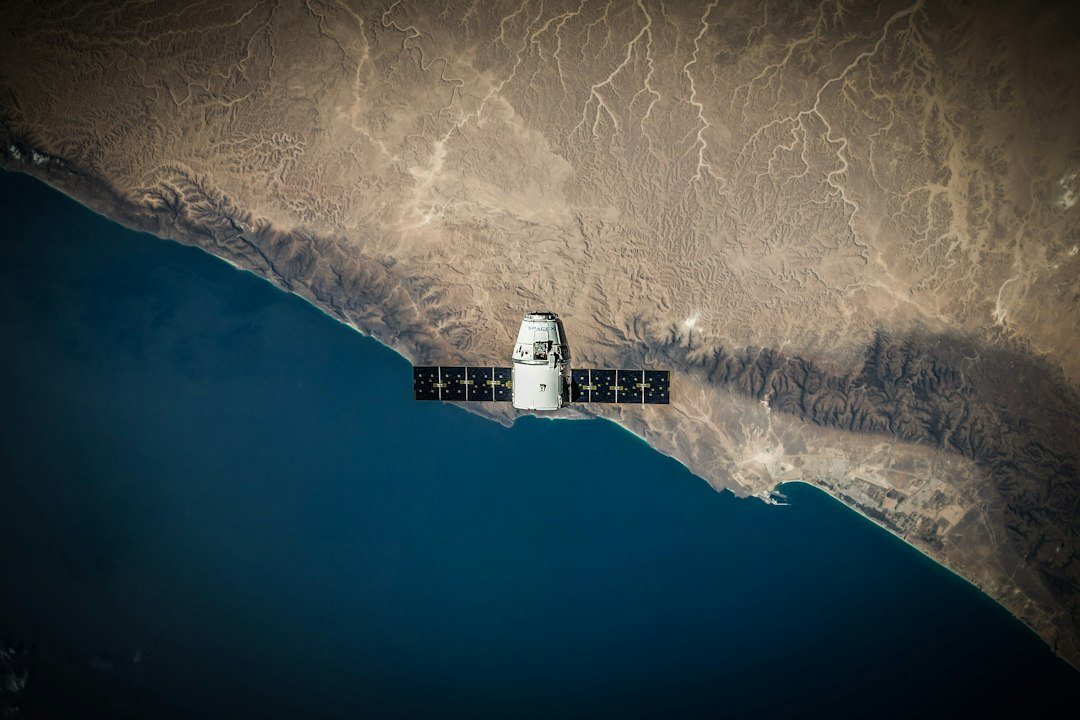
Satellite monitoring has detected chronic oil pollution drifting into marine protected areas around the world, including waters inside the Republic of Congo’s Conkouati-Douli National Park, according to a new analysis by the US-based nonprofit SkyTruth. The study tracked oil slicks across several years using radar satellite imagery capable of detecting thin surface films invisible to the naked eye from shore.
Conkouati-Douli, a reserve home to sharks, dolphins, whales and nesting sea turtles along Congo’s Atlantic coast, recorded 27 separate slicks covering roughly 880 square kilometres of protected water. SkyTruth’s analysts said the pattern of detections points to three offshore oil platforms operating just outside the park’s boundary as the likely source, rather than passing ships.
Similar patterns turned up at marine protected areas far from Africa. Spain’s Mediterranean Cetacean Migration Corridor recorded 45 slicks over the study period, all attributed to vessel discharges rather than fixed infrastructure. The Pelagos Sanctuary, shared by France, Italy and Monaco, recorded 26 slicks, while Romania’s Black Sea waters, spanning the Danube Delta marine zone and Zernov’s Phyllophora Field, recorded 67 slicks covering about 263 square kilometres.

A protection gap hiding in plain sight
SkyTruth’s leadership argue the findings expose a gap between designating a marine protected area on paper and actually monitoring what happens inside its boundaries. Satellite detection methods of this kind have improved sharply in recent years, making it possible to flag pollution that previously went unrecorded because patrol boats and aircraft cannot cover these areas continuously.
Oil slicks of the size and frequency detected in Conkouati-Douli pose a particular risk to the sea turtles that nest on its beaches and to filter-feeding marine life. Researchers have previously documented how even thin surface films can disrupt feeding and breathing for cetaceans and degrade the krill and plankton that anchor coastal food chains, effects that ripple upward to the fish stocks local communities rely on.
SkyTruth’s method relies on synthetic aperture radar, which can distinguish the smooth signature of an oil film from ordinary wave texture even through cloud cover. The approach has become a standard tool for ocean-pollution researchers over the past five years, replacing a reliance on chance sightings from aircraft or passing ships, a method that previously left most chronic, low-level pollution in remote protected waters completely undetected.
Enforcement remains the hard part
Identifying a likely source from orbit is one thing; holding an offshore operator accountable is another, particularly where a protected area’s boundary sits close to active oil and gas licences, as in Congo’s case. African governments managing marine parks with limited patrol budgets have few tools to independently verify a satellite-based attribution or pursue a cross-border enforcement case against a platform operator. Legal experts who work on marine protection note that liability frameworks for chronic, low-volume pollution remain far weaker internationally than those governing single large spill events, leaving operators with little direct financial incentive to reduce routine discharges.
SkyTruth says it plans to keep publishing the underlying detection data so that national authorities and advocacy groups can push for independent verification and, where appropriate, enforcement action. For Global South coastal nations balancing offshore energy revenue against fragile marine ecosystems, the findings add pressure to close the gap between protected status and protected reality, a tension that also shadows efforts to expand mangrove cover and sea-turtle habitat elsewhere along African and South Asian coastlines.