
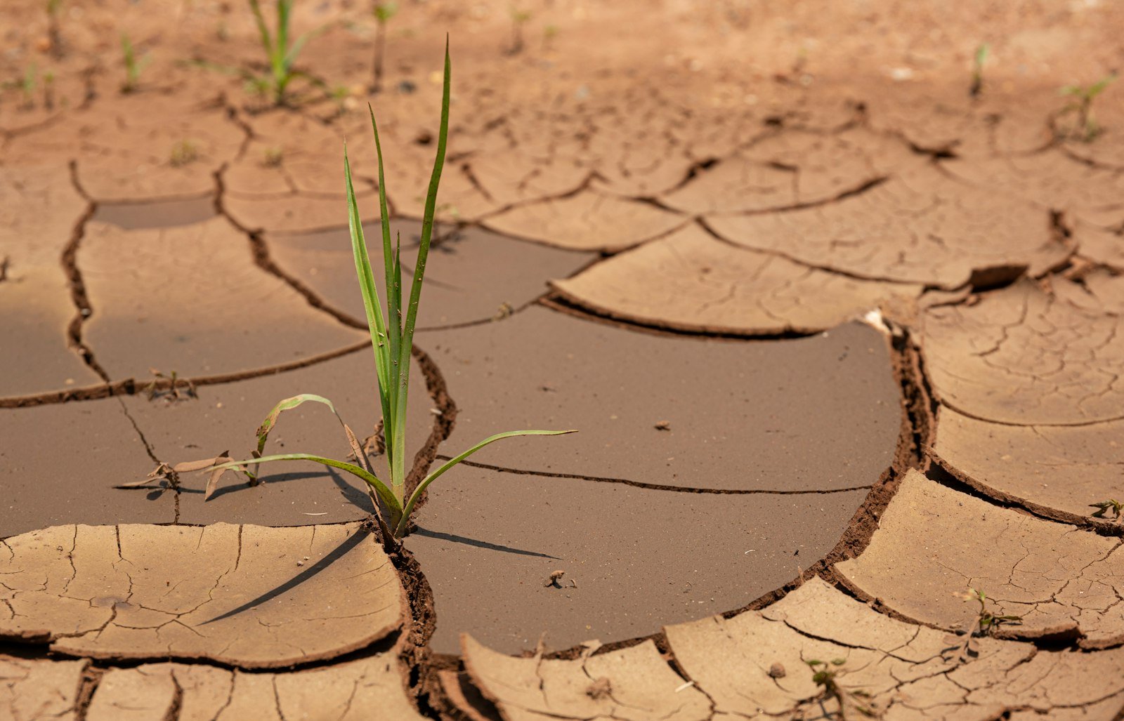
FEWS NET’s October 2026 special report says the 2026/27 El Niño has strengthened rapidly and now points to weather extremes that could affect harvests and food access across several regions through early 2027. The famine early warning network forecasts below-average rainfall for Southern Africa through March 2027, alongside heavy rains and elevated flood risk in parts of the Horn of Africa, and flags additional risk for Latin America, the Caribbean and Pakistan.
El Niño is the warm phase of a recurring Pacific Ocean climate pattern that shifts rainfall and temperature across much of the tropics and subtropics every two to seven years. Its effects are forecasts of probability, not observations: FEWS NET underlines that the below-average rains modelled for Southern Africa run from October 2026 to March 2027, while the unusually wet or dry spells the United Nations has flagged separately are concentrated in the shorter October-to-December 2026 window. The agency’s recurring caution is that the worst food insecurity tends to emerge in the lean season that follows a poor harvest, not immediately.
UN News and UNICEF report that more than 347 million children in nearly 100 countries and territories could experience unusually wet or dry conditions between October and December 2026. That figure measures exposure to anomalous weather, not a confirmed count of resulting malnutrition, displacement or crop failure, and the agencies have been careful to frame it as a planning estimate for humanitarian agencies rather than a casualty figure.

Papua New Guinea shows forecast meeting reality
Papua New Guinea illustrates how a forecast and an observed impact can meet within the same season. UN reporting records water shortages, crop losses, falling household food reserves and higher prices already under way there. The national government has approved a US$112m (about £84m) supplementary budget in response, and UN agencies estimate that around 1.2 million people in the country may require direct food relief. Those figures describe current actions and working estimates, not the final outcome of any relief operation still in progress.
The geographic spread of the FEWS NET forecast is broad. In Southern Africa, below-average rains through the main October-to-March growing season could cut into planting decisions and yield prospects for staples such as maize. In the Horn of Africa, the same El Niño pattern typically drives the opposite effect, and FEWS NET’s modelling shows heightened flood risk from heavier rains even as other areas face drying. Latin America, the Caribbean and parts of Pakistan round out the regions FEWS NET lists as bearing elevated risk this season.
A narrow window for early action
FEWS NET’s analysis emphasises timing as much as geography. Because food insecurity tends to peak in the season after a climatic shock rather than during it, the agency argues there is a practical window for anticipatory measures, such as pre-positioning food stocks or releasing early humanitarian financing, if donors and governments act on the forecast rather than waiting for confirmed losses.
Uncertainty nonetheless remains high at this stage of the season. How far forecast risk converts into observed damage to crops, markets and livelihoods will depend on the storm system’s eventual magnitude, its precise timing against planting calendars, and local vulnerabilities that vary sharply between, and within, the affected countries. The immediate windows to watch are the October-to-December 2026 period UN agencies have highlighted for child exposure, and the October 2026-to-March 2027 growing season FEWS NET has flagged for Southern Africa, both of which will show whether this year’s El Niño converts forecast risk into confirmed harvest losses. Nepal’s recent floods, where the World Bank has already tallied $1.66bn in damage, illustrate how quickly such forecast risk can turn into confirmed loss.