
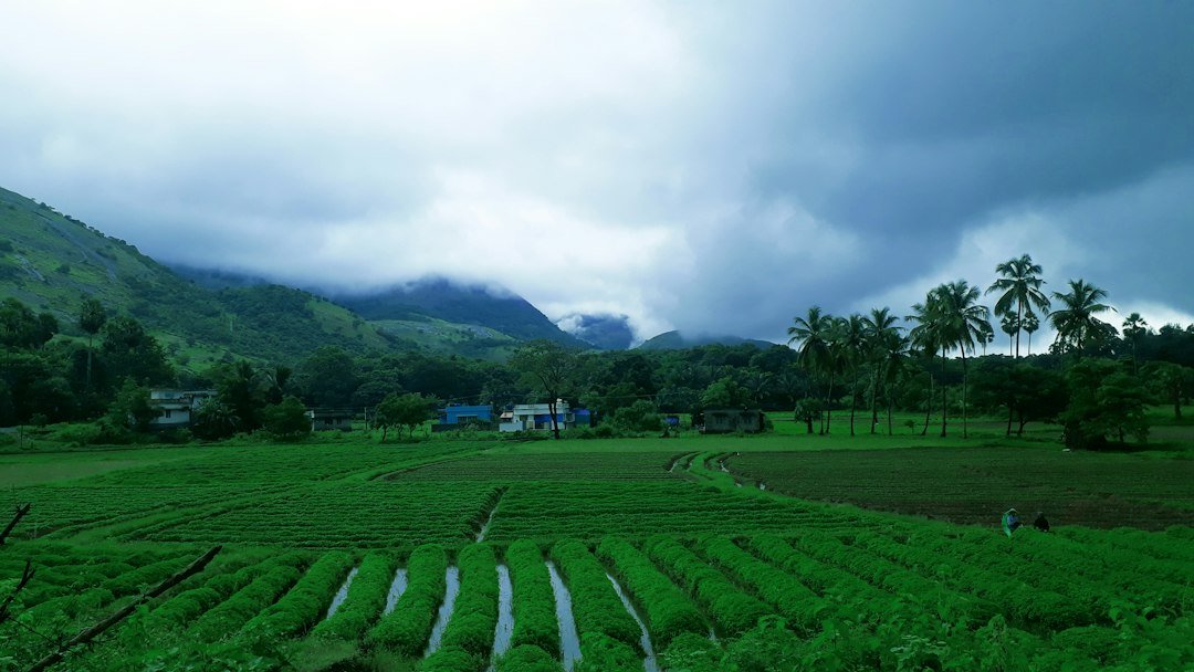
The northeast monsoon has set in over southern India, bringing forecast-heavy rain to a region that depends on it each autumn. The India Meteorological Department confirmed the onset on 15 October over Tamil Nadu, Kerala, Puducherry, coastal Andhra Pradesh and south interior Karnataka. Farmers across these states now expect weeks of rain that can replenish reservoirs and support winter sowing.
Further north, the weather has turned destructive. Hailstorms and gusty winds swept through Punjab, Haryana, Delhi and Jammu and Kashmir this week. Down To Earth’s daily weather tracker, published on 14 October, recorded the damage. The storms hit standing banana, paddy, cotton, maize and vegetable crops across several districts. Agriculture departments in the affected states issued advisories urging farmers to protect their fields from further loss.
The contrast captures India’s weather whiplash in mid-October. Southern states are welcoming the northeast monsoon as a source of relief after a dry stretch. Northern states are confronting crop losses from storms that arrived with little warning. Farmers in both regions face urgent decisions this week, from when to harvest to how to shield fields before conditions shift again. The two reports, filed within forty-eight hours of each other, describe a single country split between welcome rain and crop damage.

South braces for widespread rain
The India Meteorological Department has forecast fairly widespread to widespread rain across Tamil Nadu, Kerala, Puducherry, coastal Andhra Pradesh and south interior Karnataka. The wet spell is expected to continue through 19 to 21 October. For Kerala, the rain follows a stretch of weak showers that left some reservoirs below seasonal levels. Tamil Nadu’s delta districts, which lean heavily on the northeast monsoon for their main paddy crop, stand to benefit most from the sustained rainfall.
Puducherry and coastal Andhra Pradesh are also included in the IMD’s forecast, alongside south interior Karnataka. Officials in these states have not issued crop-damage warnings so far. Instead, the emphasis has stayed on water storage. Reservoirs and irrigation canals are expected to fill as the rain continues through the week.
The northeast monsoon typically replaces the retreating southwest monsoon across the peninsula each October. It carries the bulk of the season’s rainfall to Tamil Nadu and its neighbours. Its arrival on 15 October gives farmers in these states a defined window to plan sowing and irrigation around the IMD’s outlook. The forecast through 19 to 21 October covers the period in which the rain is expected to be most widespread.
Crop protection advisories issued in the north
In Punjab, Haryana, Delhi and Jammu and Kashmir, the storms arrived without the same anticipation. Down To Earth’s tracker recorded hailstorms and heavy rain sweeping across these states, accompanied by gusty winds strong enough to flatten standing crops. Banana, paddy, cotton, maize and vegetable growers were named among those most exposed to damage.
State agriculture departments responded with advisories asking farmers to secure vulnerable fields wherever possible. Paddy growers nearing harvest face particular risk, since hail can flatten standing stalks within minutes. Banana cultivators have been advised to stake plants against gusty winds, while vegetable growers were urged to cover exposed beds where resources allow. Cotton and maize farmers were told to check fields for waterlogging once the rain clears.
The advisories point to a wider concern. Unsettled weather across Punjab, Haryana, Delhi and Jammu and Kashmir has coincided with the same week that the northeast monsoon strengthened in the south. For farmers nationwide, the period has meant tracking two very different forecasts at once. One brings rain they need. The other threatens crops they have already grown.