
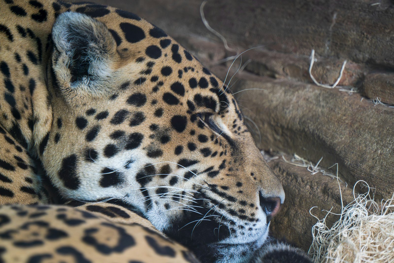
Jaguars have lost more than half their historic range across the Americas. A new study maps the travel routes that still link the species’ remaining strongholds. Researchers led by Harshad Karandikar at the Wildlife Conservation Society studied more than 134,000 GPS points from 99 jaguars in five countries. The result is the first range-wide map built on real movement data, not expert guesswork. The findings appear in the journal Ecosphere.
Older corridor maps relied on expert guesses about where jaguars might travel. This one tracks where the animals actually went. It follows individual cats as they cross farmland, forest and river basins between Mexico and Argentina. The method shows which routes jaguars still use. It also shows which routes roads, ranches and growing towns have already cut off.
The study names three corridors as critical to the species’ survival. The Honduras-Guatemala Bi-National Corridor links forest blocks that straddle the border between the two countries. Brazil’s Amazon-Pantanal Corridor connects the world’s largest tropical wetland to the rainforest just north of it. Colombia’s A2O Corridor, short for Andes to Orinoco, links jaguar territory between two major river systems.

A newly mapped route through Bolivia
The GPS data revealed a fourth corridor that researchers had not mapped in detail before. It runs from northern Bolivia through the Pantanal wetland. From there it follows the Paraguay River into Paraguay and northern Argentina. Camera traps and local reports had hinted at jaguar movement through the area. The tracking data now confirms it. Cats use this route as a working link between populations that could otherwise become cut off from each other.
Isolation carries real risk. Small, cut-off jaguar populations lose genetic diversity over time. That loss makes them more open to disease and local extinction. A working corridor lets jaguars disperse, breed across populations, and return to areas where numbers have fallen. Once a corridor disappears, those options close for good. A shrinking population then has nowhere left to turn.
Habitat loss, fragmentation and conflict with livestock farmers have driven the jaguar’s decline. The cats once ranged from the southwestern United States all the way to Patagonia. Today their confirmed range covers a far smaller, broken-up stretch of Central and South America. The five countries behind the GPS data span a cross-section of what remains. That ranges from Central American forest fragments to the vast wetlands of the Pantanal.
Corridors matter as much as reserves
The researchers argue that conservation spending has often favoured large protected reserves. The corridors connecting those reserves get far less attention and far less funding. A reserve cut off by clearing or fencing delivers less long-term benefit than one still linked to others. Real movement data gives governments and conservation groups a sharper target. They can now focus land-use agreements, fencing changes and anti-poaching patrols on the routes jaguars actually use. That beats spreading resources thinly across an entire range.
The International Union for Conservation of Nature lists the jaguar as Near Threatened. Some national populations carry a more severe risk status. The jaguar is the top predator across most of its range. It keeps prey numbers in check. It also supports the wider health of the ecosystems it moves through, from dense rainforest to open wetland.
The study’s authors say the next step is clear. They want to work with national park agencies and local communities along the three priority corridors. The goal is to secure land and ease conflict with ranchers, whose cattle jaguars sometimes kill. Without that cooperation, they warn, even a well-mapped corridor can vanish within a few years. The routes that the GPS data shows have already disappeared prove exactly how fast that can happen.