
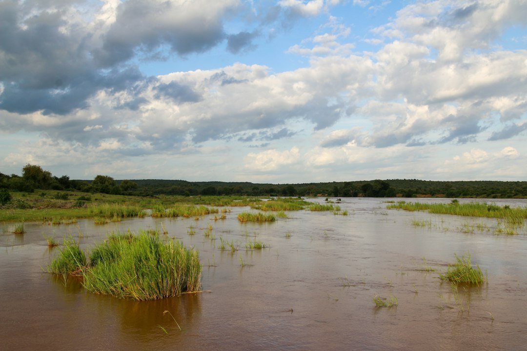
Somalia’s Shabelle River rose 2.22 metres to reach 4.70 metres at Jowhar. That is roughly 30cm below the threshold for moderate flood risk, according to a hydrological bulletin from FAO’s Somalia Water and Land Information Management unit (SWALIM), issued on 8 October 2026. The agency said the river is likely to cross that threshold within the week, based on rainfall forecasts upstream.
Forecasters expect 50mm to 100mm of rain over the coming days across the Ethiopian highlands and Somalia’s Bay, Bakool and Hiraan regions. Localised totals of 150mm to 200mm are possible, SWALIM said. The rain falls during Somalia’s Deyr season, the shorter of the country’s two annual rainy periods. It typically runs from October to December and feeds the Shabelle’s main flow from highland catchments across the border.
The rise in river levels raises flash-flood and urban-flood risk in Jowhar and other towns along the Shabelle, even as parts of southern Somalia remain in drought. SWALIM issues its bulletin weekly, feeding Somalia’s national early-warning system. Local authorities use it to decide when to issue evacuation advisories to riverside communities.

A familiar seasonal threat
The Shabelle and Jubba rivers are Somalia’s only two permanent waterways. Both have flooded repeatedly in recent Deyr and Gu rainy seasons, displacing tens of thousands of people. Floods have also damaged riverside farmland that supplies much of the country’s maize and sesame crops. Embankments near Jowhar and Belet Weyne have been reinforced in stages since 2020, but defences remain incomplete in several stretches, leaving some villages exposed each rainy season.
Humanitarian agencies in Somalia say the current warning gives authorities roughly a week’s notice to pre-position food, shelter and water-purification supplies. That is a tighter window than they would prefer, given the scale of farmland at risk along the river’s middle reaches. Past floods on the same stretch have destroyed standing crops just weeks before harvest, compounding losses for households still recovering from earlier droughts.
Climate pressure on both ends
Somalia has swung between severe drought and destructive flooding in consecutive seasons over the past four years. Climate scientists link the pattern to intensified Indian Ocean weather systems affecting East Africa’s rainfall. African negotiators raised the same volatility this week at the COP31 climate summit in Antalya. They called for faster, more predictable adaptation financing, rather than countries lurching from one emergency appeal to the next.
SWALIM has not yet confirmed whether the Shabelle will reach major flood-risk level, which would trigger wider evacuation orders. It said an updated bulletin would follow once rainfall data from the Ethiopian highlands is confirmed later this week. Somalia’s disaster management agency has not announced pre-positioning of relief supplies along the river.
Farmland and lives on the same flood plain
Jowhar sits roughly 90km north of Mogadishu, in one of Somalia’s main irrigated farming districts along the Shabelle’s lower reaches. Maize, sesame and vegetables grown here supply markets in the capital, so flood damage at this stage of the season can push up food prices in Mogadishu within weeks, on top of any direct losses to farming households along the riverbank.
Local administrators in Jowhar have asked residents in low-lying areas to move valuables and livestock to higher ground as a precaution, even before SWALIM confirms the river has crossed moderate flood-risk level. Similar early precautions during past Deyr seasons have reduced losses for households that acted before water levels peaked.